 Lake Huron (French: Lac Huron) is one of the five Great Lakes of North America. It is bounded on the east by Ontario, Canada and on the west by Michigan, USA. The name of the lake is derived from early French explorers who named it based on the Huron people inhabiting the region.
 Lake Huron is the second largest of the Great Lakes, with a surface area of 59,596 km2 (23,010 sq mi) making it the third largest fresh water lake on earth (fourth largest lake if the saline Caspian Sea is included). It contains a volume of 3,540 km3 (850 cubic miles), and a shoreline length of 3,827 mi (6,157 km).
The surface of Lake Huron is 577 ft (176 m) above sea level. The lake’s average depth is 195 ft (59 m), while the maximum depth is 750 ft (229 m). It has a length of 206 mi (332 km) and a greatest breadth of 183 mi (245 km).
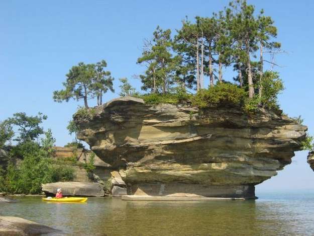
 Important cities on Lake Huron include: Goderich, Sarnia, Bay City, Alpena, Rogers City, Cheboygan, St. Ignace, and Port Huron.A notable feature of the lake is Manitoulin Island, which separates the North Channel and Georgian Bay from Lake Huron’s main body of water. It is the world’s largest freshwater island.
Water Levels
Historic High Water The lake fluctuates from month to month with the highest lake levels in October and November. The normal highwater mark is 2.00 feet (0.61 m) above datum (577.5 ft or 176.0 meters). In the summer of 1986, Lakes Michigan and Huron reached their highest level at 5.92 feet (1.80 m) above datum. The high water records began in February 1986 and lasted through the year, ending with January 1987. Water levels ranged from 3.67 feet (1.12 m) to 5.92 feet (1.80 m) above Chart Datum.


Historic Low Water Lake levels tend to be the lowest in winter. The normal lowwater mark is 1.00 foot (0.30 m) below datum (577.5 ft or 176.0 meters). In the winter of 1964, Lakes Michigan and Huron reached their lowest level at 1.38 feet (0.42 m) below datum. As with the highwater records, monthly low water records were set each month from February 1964 through January 1965. During this twelve month period water levels ranged from 1.38 feet (0.42 m) to 0.71 feet (0.22 m) below Chart Datum.
Great Lakes Circle Tour
The Great Lakes Circle Tour is a designated scenic road system connecting all of the Great Lakes and the St. Lawrence River.


0 comments:
Post a Comment